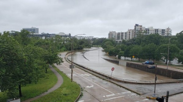
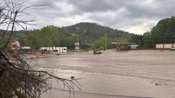
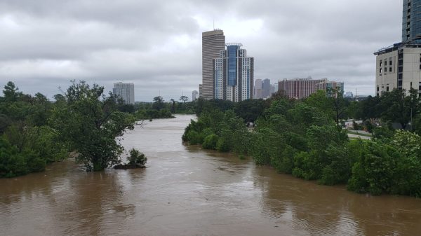
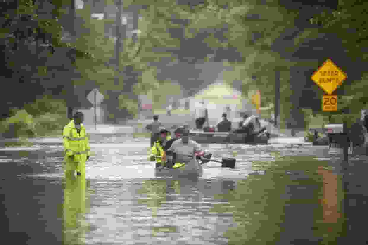
On Tuesday, South Florida received 3 to 6 inches of rain, prompting flash flood warnings.
A slow-moving line of thunderstorms dumped 3 to 6 inches of rain in areas of South Florida on Tuesday, alarming forecasts because the bigger rain event with the higher flash flood danger wasn’t anticipated to start until midday Wednesday.
The floods rendered the regions that were soaked on Tuesday night much more vulnerable to flooding from Wednesday’s rain.
On Wednesday morning, 7 million people were already under a flood watch that would last until Thursday afternoon, from Florida’s east coast south into the Keys. Daytona Beach, Melbourne, West Palm Beach, Fort Lauderdale, Miami, Key Largo, and Marathon were all under flood warning.
Forecasters warned of a major flood hazard for southeast Florida and the Florida Keys on Wednesday; the flood threat was predicted to last overnight Wednesday into Thursday morning. The greatest rainfall rates, up to 3 inches per hour, were forecast Wednesday afternoon into early Thursday.
Given the prediction, the most likely scenario was a huge region of 4 to 8 inches of rain from the Keys to West Palm Beach. Double-digit rainfall totals over extremely confined locations would be the worst-case scenario. Meteorologists stated that the big cities of Fort Lauderdale and Miami were directly in the danger zone.
In addition to the potential for heavy rain, strong onshore easterly winds blowing up to 40 mph may enhance the flood risk. If the heavy rain combines with a high king tide, it may exacerbate flooding by preventing floodwaters from receding or running off.
The torrential rain on Tuesday boosted Fort Lauderdale’s yearly rainfall total to much above 100 inches. This is more than 40 inches over average and only the second time in 111 years that their annual rainfall has exceeded 100 inches.
On April 12, a record rainfall event fell up to 25 inches in a 24-hour period across the Fort Lauderdale metro area, accounting for a substantial amount of the city’s rainfall this year.
Fort Lauderdale is already enjoying its wettest year on record, and more rain is expected on Wednesday and Thursday.
The same storm system that is forecast to develop off Florida’s east coast and bring a deluge to the state on Wednesday will also proceed up the Atlantic Coast and soak New England over the weekend.
This storm system will skim the Mid-Atlantic coast on Friday, bringing heavy rain and strong gusts to the coastal Carolinas, including the Outer Banks.
By Saturday, the storm system will have passed over coastal New England, delivering heavy rain from eastern Long Island to northeast Maine.
To effectively convey the threat of a flash flood, NOAA’s National Weather Service is switching to a bulleted style with clearly legible information, such as a description of the flash flood hazard, the source of the information, and the hazard impact.
The new impact-based format will enable more targeted wireless emergency alerts to individuals who require rapid action to save lives during a flash flood event.
“We’re always looking for ways to improve how we communicate a flash flood threat,” said Mary Mullusky, branch chief for the National Weather Service’s Water Resources Services. “The changes to our flash flood warnings simplify the text to more clearly tell people what the hazard is and what impacts are expected so they can take appropriate action. This is another step in our effort to build a weather-ready nation.”
The reformatted flash flood warning software is being installed in nine local National Weather Service (NWS) prediction offices. The new format will be implemented in the remaining offices by late November. The new style draws on the successful reformatting of tornadoes, severe thunderstorms, and special maritime warnings and is part of the larger Hazard Simplification Project, which aims to enhance public communication of watches and warnings.
What is King Tide, and why watch it?
The king tide is the year’s highest forecasted high tide at a coastal site. On a typical day, it is higher than the peak water level attained during high tide. King tides are common in coastal locations, occurring once or twice a year. The National Oceanic and Atmospheric Administration (NOAA) forecasts them in the United States. King tides occur when the Earth’s, moon’s, and sun’s orbits and alignments combine to generate the highest tidal impacts of the year.
King tides create abnormally high water levels, which might result in local tidal floods. Sea level rises raise the height of tidal systems over time.
The average daily water level is rising in lockstep with the sea. As a result, high tides are rising higher and stretching farther inland than previously. King tides foreshadow how sea level rise will affect coastal communities. The water level achieved currently during a king tide will eventually be the water level reached at high tide on a typical day.
King tides give a peek at future everyday water levels and are a method of communicating the long-term implications of local sea level rise.
Rising sea levels put low-lying waterfront development in danger of flooding, and public investments in infrastructure, housing, and habitat restoration projects are frequently anticipated to endure decades.
Highlighting king tides in a community can help raise awareness of the possible effects of sea level rise and identify flood-prone areas. Community decision-makers will benefit from a better grasp of how sea level rise will affect local resources.


![Tyson Foods Plant [Photo: Food Manufacturing]](https://southarkansassun.com/wp-content/uploads/2023/08/iStock_1185520857__1_.5e441daa51cca-600x337.jpg)




![Silverado Senior Living Management Inc. [Photo: Los Angeles Times]](https://southarkansassun.com/wp-content/uploads/2023/10/download-6-4-600x337.jpg)

![China's Wuhan Institute of Virology [Photo: Nature]](https://southarkansassun.com/wp-content/uploads/2023/09/d41586-021-01529-3_19239608-600x337.jpg)


