Country Herald is a community news platform for Kankakee, Iroquois, and Will County. Covering breaking local news, sports, lifestyle and events.
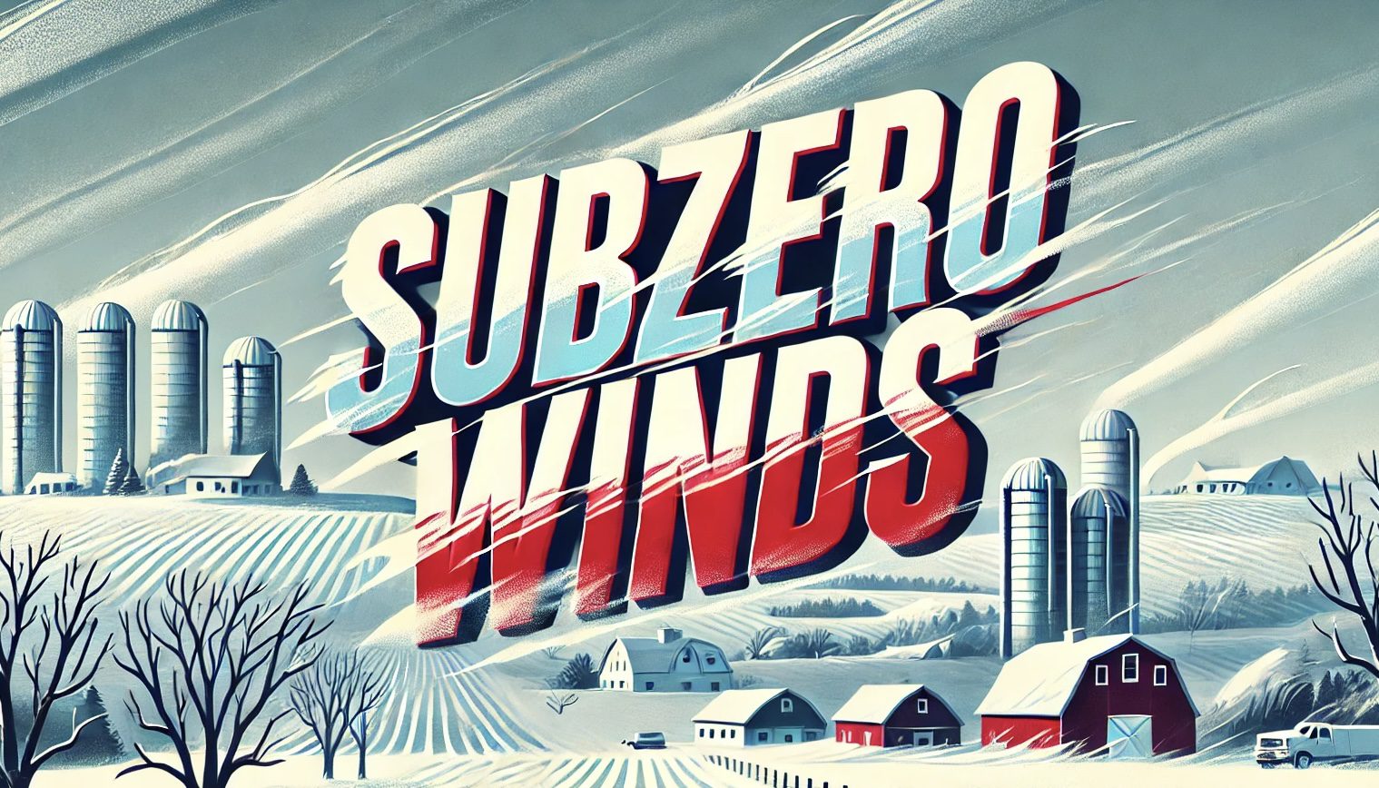
ndianapolis, IN – Temperatures across Indiana are expected to drop significantly Wednesday night, with some areas near or slightly below zero. Residents commuting along major highways like I-70 and I-65 should prepare for icy conditions and freezing temperatures.
According to the National Weather Service, Indianapolis could see highs in the low 20s on Wednesday before plunging to around 4°F overnight. A cold air mass will dominate the region, with calm winds limiting extreme wind chills. However, frost accumulation and patchy ice are concerns, particularly in low-lying areas.
Looking ahead, the cold snap will persist into Thursday, with highs reaching only 18°F. By Friday, snow is forecast, starting in the afternoon and potentially affecting evening travel. Accumulations of 1-3 inches are possible near central Indiana, with higher snowfall probabilities along I-74 and I-65 corridors. Drivers are encouraged to monitor road conditions and consider delaying non-essential travel.
The extended forecast shows a slight warmup into the weekend, with highs near 28°F Saturday and a continued chance of snow showers through Sunday. While conditions remain challenging, calm winds and gradual warming may improve road safety into next week.
To stay safe during the cold weather, dress in multiple layers and keep an emergency kit in your car when traveling. Monitor weather updates frequently for changes in snow timing and accumulation.
Be sure to follow us on Instagram & like us on Facebook to stay up-to-date on more relevant news stories and SUPPORT LOCAL INDEPENDENT NEWS!
The post Indiana Braces for Frigid Temperatures Wednesday Night: Low Near Zero Along Major Routes, Including I-70 appeared first on Country Herald.




![Tyson Foods Plant [Photo: Food Manufacturing]](https://southarkansassun.com/wp-content/uploads/2023/08/iStock_1185520857__1_.5e441daa51cca-600x337.jpg)



![Silverado Senior Living Management Inc. [Photo: Los Angeles Times]](https://southarkansassun.com/wp-content/uploads/2023/10/download-6-4-600x337.jpg)

![China's Wuhan Institute of Virology [Photo: Nature]](https://southarkansassun.com/wp-content/uploads/2023/09/d41586-021-01529-3_19239608-600x337.jpg)
