Country Herald is a community news platform for Kankakee, Iroquois, and Will County. Covering breaking local news, sports, lifestyle and events.
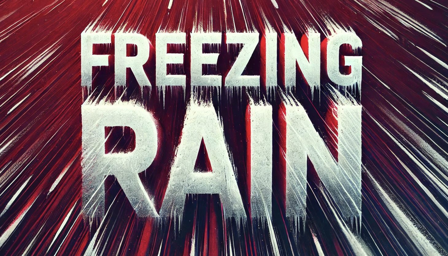
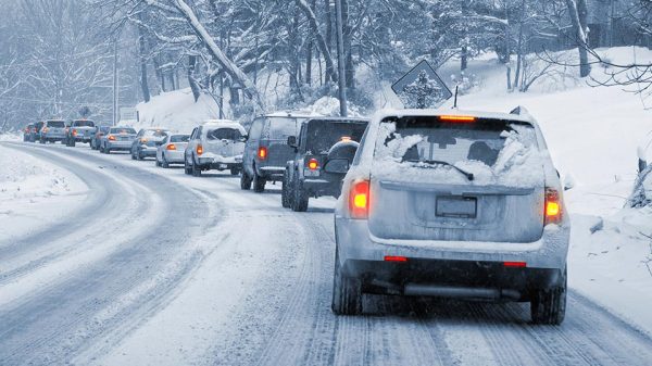
Spokane, WA – Freezing rain is set to hit Spokane and Coeur d’Alene early Friday morning, posing risks for commuters on US-2 and nearby roads. Ice accumulation up to 0.15 inches is expected, creating slippery conditions during peak travel hours.
According to the National Weather Service (NWS) Spokane, freezing rain will develop between 4 and 5 a.m., affecting areas from Airway Heights to Almira. A Winter Weather Advisory remains in effect from 4 a.m. to 1 p.m. Friday. Officials urge drivers to reduce speeds, allow extra travel time, and remain cautious on bridges and overpasses, which will freeze first.
Additional icy patches are expected in surrounding areas, including Hayden, Cheney, and Spokane Valley. Motorists traveling along Interstate 90 and US-2 should prepare for reduced traction and possible delays.
Beyond Friday’s icy start, weekend weather forecasts show light rain with highs in the mid-30s for Spokane, while Coeur d’Alene may see mixed precipitation on Saturday. Temperatures are expected to dip below freezing each night, extending the potential for ice formation through the weekend.
Drivers are encouraged to check local road conditions via the Washington State Department of Transportation’s website or by dialing 511 before heading out. Pedestrians should also watch for slick sidewalks and take precautions to avoid falls.
Stay updated on weather changes and potential advisories by following local NWS updates.
Be sure to follow us on Instagram & like us on Facebook to stay up-to-date on more relevant news stories and SUPPORT LOCAL INDEPENDENT NEWS!
The post Washington Roads Face Freezing Rain: Friday Morning Hazard for Spokane and Coeur d’Alene Drivers appeared first on Country Herald.




![Tyson Foods Plant [Photo: Food Manufacturing]](https://southarkansassun.com/wp-content/uploads/2023/08/iStock_1185520857__1_.5e441daa51cca-600x337.jpg)





![Silverado Senior Living Management Inc. [Photo: Los Angeles Times]](https://southarkansassun.com/wp-content/uploads/2023/10/download-6-4-600x337.jpg)

![China's Wuhan Institute of Virology [Photo: Nature]](https://southarkansassun.com/wp-content/uploads/2023/09/d41586-021-01529-3_19239608-600x337.jpg)
