Country Herald is a community news platform for Kankakee, Iroquois, and Will County. Covering breaking local news, sports, lifestyle and events.
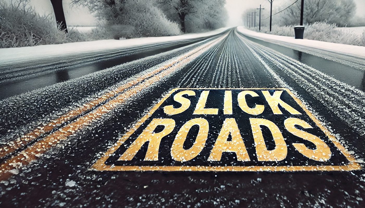
Detroit, MI – Scattered snow showers are expected across Southeast Michigan today, with accumulations likely to make travel conditions hazardous. The National Weather Service has warned of light snow primarily between noon and 11 p.m., impacting local roadways, including I-75 and other major routes.
According to the National Weather Service (NWS) in Detroit, snowfall could bring 1 to 2 inches across the region, with heavier bursts near lake-effect zones. Following today’s snow, colder temperatures will set in, with highs dipping to the upper 20s and wind chills potentially dropping into the teens by Thursday morning.
Motorists are advised to drive cautiously, as untreated roads may become slippery during peak travel hours. Residents should also prepare for colder conditions as the weekend approaches, with nighttime lows dropping into the single digits by Friday. Wind chills are forecast to make outdoor exposure dangerous, especially during the early morning and late evening hours.
Thursday and Friday will bring dry but frigid conditions, with daytime highs struggling to reach 30°F. Partly sunny skies are expected to provide minimal relief. By Saturday, the region will experience slightly milder weather, though temperatures will remain below freezing.
If you must travel this evening or early Thursday, ensure vehicles are winter-ready and pack emergency supplies in case of delays.
Be sure to stay updated on the latest forecasts as conditions evolve.
Be sure to follow us on Instagram & like us on Facebook to stay up-to-date on more relevant news stories and SUPPORT LOCAL INDEPENDENT NEWS!
The post Michigan Snow Showers Today: Prepare for Slippery Roads and Rapidly Dropping Temperatures appeared first on Country Herald.


![Tyson Foods Plant [Photo: Food Manufacturing]](https://southarkansassun.com/wp-content/uploads/2023/08/iStock_1185520857__1_.5e441daa51cca-600x337.jpg)


![Silverado Senior Living Management Inc. [Photo: Los Angeles Times]](https://southarkansassun.com/wp-content/uploads/2023/10/download-6-4-600x337.jpg)

![China's Wuhan Institute of Virology [Photo: Nature]](https://southarkansassun.com/wp-content/uploads/2023/09/d41586-021-01529-3_19239608-600x337.jpg)


