


![Tyson Foods Plant [Photo: Food Manufacturing]](https://southarkansassun.com/wp-content/uploads/2023/08/iStock_1185520857__1_.5e441daa51cca-600x337.jpg)


![Silverado Senior Living Management Inc. [Photo: Los Angeles Times]](https://southarkansassun.com/wp-content/uploads/2023/10/download-6-4-600x337.jpg)

![China's Wuhan Institute of Virology [Photo: Nature]](https://southarkansassun.com/wp-content/uploads/2023/09/d41586-021-01529-3_19239608-600x337.jpg)


Country Herald is a community news platform for Kankakee, Iroquois, and Will County. Covering breaking local news, sports, lifestyle and events.
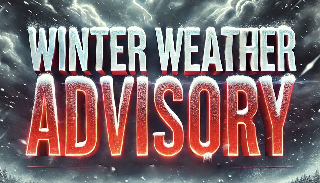
Keweenaw County, MI – Snowfall in Keweenaw County is expected to intensify through Tuesday morning, bringing up to 9 inches of accumulation. The National Weather Service issued a Winter Weather Advisory, warning of hazardous travel conditions.
According to the NWS, the advisory remains in effect until 7 a.m. Tuesday. Snowfall totals will range from 4 to 9 inches, with winds gusting up to 35 mph. Blowing snow could significantly reduce visibility, especially during commutes.
Roadways throughout the region may become slick, and visibility issues could lead to delays. Drivers are advised to reduce speed and exercise caution. The strongest snowfall rates are anticipated during the late afternoon and evening hours.
Additional advisories are in place for Alger, Luce, and Northern Schoolcraft Counties. These areas are expected to receive between 2 and 8 inches of lake-effect snow. The heaviest accumulation will occur northeast of Munising, particularly around Melstrand and Pine Stump Junction.
Further west, Gogebic County residents may see up to 8 inches along and north of US-2. Baraga and Southern Houghton Counties should expect lighter totals, ranging from 2 to 5 inches, but road conditions will remain hazardous.
The NWS recommends limiting nonessential travel until conditions improve. Updates are available at weather.gov.
Be sure to follow us on Instagram & like us on Facebook to stay up-to-date on more relevant news stories and SUPPORT LOCAL INDEPENDENT NEWS!
The post Michigan Winter Weather Advisory: Up to 9 Inches of Snow and Strong Winds Expected appeared first on Country Herald.