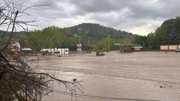
Peoria, Ill. (WMBD) — Central Illinois experienced a roller coaster of weather conditions at the end of 2024, with warm and rainy weather prevailing for the past two weeks of the month.
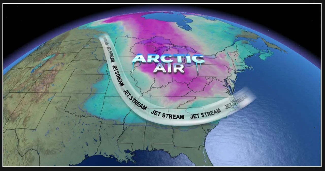
However, a significant shift is expected as we enter January. The region will be greeted with much colder air, and there will be multiple chances for accumulating snow in the coming weeks.
Upcoming snow chances
As colder air moves into the region, we can expect a few chances for accumulating snow this week, with more in the forecast for the coming weeks.
Scattered snow flurries are expected to affect Central Illinois on Tuesday night and Wednesday. However, our next opportunity for significant snowfall will occur on Thursday.
Snow is expected to move into the area on Thursday between 12 pm and 10 pm, thanks to a fast-moving clipper-like system.
The snowfall is predicted to range from 0.5″ to 2.0″, which could have an impact on the evening commute.
The weather is expected to be calm on Friday and Saturday after Thursday. However, there is a storm system approaching that could bring another round of snow on Sunday and Monday.
The amount of snowfall will depend on the uncertain storm track.
Northern track through Southern Illinois – 40% Chance
A low-pressure system will pass through extreme southern Illinois, resulting in moderate to heavy snowfall across Central Illinois. The exact amount of snow is still uncertain, but it is expected to be enough to cause travel issues throughout the state.
Southern track through Tennessee – 40% Chance
The track of this low-pressure system is expected to pass through Tennessee, which means that the heaviest snowfall will be concentrated closer to I-70. While we can still expect some snow accumulation with this track, the amounts will likely be lighter and more manageable.
Extreme southern track through northern Mississippi – 20% Chance
If this track were to happen, it’s highly unlikely, but there is a possibility that most areas north of I-74 could completely miss the snow.
As of now, our confidence has grown in one aspect: the storm track is expected to stay south, preventing freezing rain from affecting our area.
The energy responsible for forming our storm system is currently located south of the Aleutian chain in the Pacific Ocean, approximately 3,800 miles away.
Over the next few days, the model guidance will continue to show changes in the storm track. Therefore, it is important to keep an eye on the forecast as more details become available.
It is worth noting that regardless of the track, we do not anticipate this to be a major blizzard. Additionally, any snow accumulations in the double digits are likely to be more isolated than what the model projections suggest.
Incoming cold temperatures
The weather forecast suggests that regardless of the outcome of the snowfall this weekend, we can expect a significant drop in temperatures.
Thursday marks the end of relatively mild weather, with temperatures above freezing. Over the next two weeks, high temperatures are expected to range in the 20s from January 3rd to the 7th, and then decrease further into the teens from January 8th to the 12th.
If the upcoming storm brings substantial snowfall, temperatures next week might even become colder, making it challenging for them to rise above the single digits.
According to the Climate Prediction Center, there is a strong likelihood of below average temperatures persisting until at least January 14th. Furthermore, it is highly likely that this cold weather will continue throughout the entire month.


![Tyson Foods Plant [Photo: Food Manufacturing]](https://southarkansassun.com/wp-content/uploads/2023/08/iStock_1185520857__1_.5e441daa51cca-600x337.jpg)


![Silverado Senior Living Management Inc. [Photo: Los Angeles Times]](https://southarkansassun.com/wp-content/uploads/2023/10/download-6-4-600x337.jpg)

![China's Wuhan Institute of Virology [Photo: Nature]](https://southarkansassun.com/wp-content/uploads/2023/09/d41586-021-01529-3_19239608-600x337.jpg)


