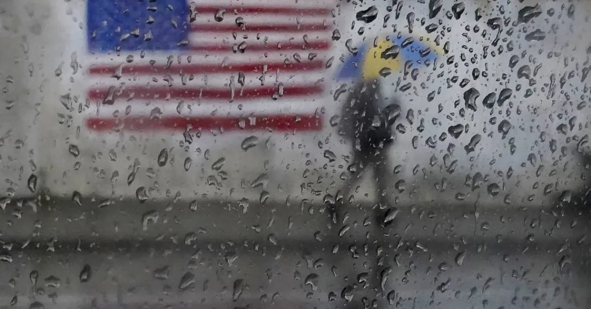
Western US Braces for Severe Storms, Holiday Travel Disruptions Expected
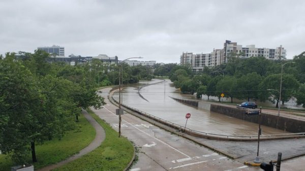
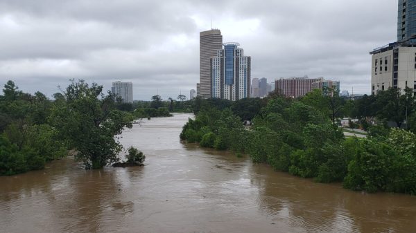
The western United States is preparing for a series of intense storms, referred to as a “storm train,” expected to bring heavy rain, mountain snow, and potential travel disruptions during the Christmas holiday, according to AccuWeather forecasts. This weather pattern, fueled by atmospheric rivers, has already contributed to substantial precipitation this season, alleviating drought conditions and boosting snowpack levels. However, saturated ground raises concerns about flooding and mudslides.
Travel Disruptions Anticipated
The timing of these storms poses a significant challenge for millions of holiday travelers. Roads, airports, and train services are likely to face delays and hazardous conditions.
“Tuesday is probably the most difficult day for travel overall, with challenging conditions also expected in the Northwest on Christmas afternoon and evening,” said Heather Zehr, senior meteorologist at AccuWeather.
Cities such as Seattle and Portland are expected to experience deteriorating travel conditions. By Tuesday evening, a new storm is forecast to hit Northern California and southwestern Oregon, extending rain to areas as far south as Los Angeles.
Mountain Snow and Avalanche Risks
Travelers navigating mountain passes should prepare for heavy snowfall and treacherous conditions.
“Rain totals through the end of the week will reach 6-10 inches along the coast from Vancouver Island through Washington, Oregon, and Northern California,” Zehr reported, with the heaviest precipitation expected early Tuesday.
While snowfall totals may not be excessive, roads are anticipated to become slippery quickly, with heavy snow at times. Shifting snow levels during the storms are expected to heighten avalanche risks in higher elevations.
“Snow levels in the mountains will fluctuate with each storm, rising ahead of them and falling as they pass,” Zehr explained. “This will create changing conditions for travelers, so staying updated before departure is essential.”
Brief Christmas Day Respite
After a stormy lead-up to Christmas, much of the West is forecast to enjoy a temporary break in precipitation on Christmas Day. However, snow showers may linger in the Intermountain West, and by evening, the next storm is predicted to arrive in the Pacific Northwest.
This system may bring strong winds Wednesday night into Thursday morning, increasing the likelihood of power outages as the saturated ground weakens trees and infrastructure.
Cumulative Rainfall and Snow Totals
As the storms persist, rainfall and snow totals are expected to rise significantly. Coastal regions from Vancouver Island to Northern California could see 6-10 inches of rain by week’s end, leading to rising streams and creeks.
Mountain regions, including the Washington Cascades and Sierra Nevada, are predicted to receive 2-4 feet of snow above pass levels, according to Zehr.
Outlook for the New Year
While the “storm train” is projected to continue throughout the week, there is a potential for drier weather by New Year’s Eve and New Year’s Day. Residents and travelers are urged to stay informed and prepared for ongoing challenges as these storms progress.


![Tyson Foods Plant [Photo: Food Manufacturing]](https://southarkansassun.com/wp-content/uploads/2023/08/iStock_1185520857__1_.5e441daa51cca-600x337.jpg)



![Silverado Senior Living Management Inc. [Photo: Los Angeles Times]](https://southarkansassun.com/wp-content/uploads/2023/10/download-6-4-600x337.jpg)

![China's Wuhan Institute of Virology [Photo: Nature]](https://southarkansassun.com/wp-content/uploads/2023/09/d41586-021-01529-3_19239608-600x337.jpg)


