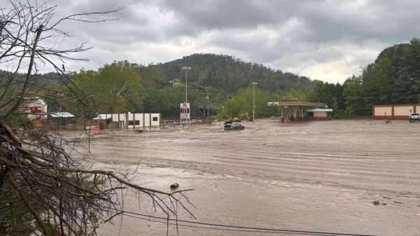
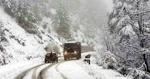
Rain and snow at higher elevations will continue throughout the day today, accompanied by strong winds across New Mexico.
The first of two cold fronts is moving through the state today, bringing cooler air from the Pacific. The front, driven by an upper-level jet streak, is positioned along the leading edge of the precipitation currently impacting New Mexico. Snowfall will persist in the higher elevations, while rain is expected to reach the metro area later this evening. A Winter Weather Advisory remains in effect for the San Juan Mountains in New Mexico until 5 p.m. on November 27th. A Winter Storm Warning is also in place for the San Juan Mountains in southwestern Colorado until 5 p.m. today.
The upper-level jet and the Pacific front are contributing to strong wind gusts, particularly in eastern New Mexico, where gusts of up to 55 mph are possible. While these winds are still powerful, they are much weaker compared to the 75 mph gusts experienced yesterday. A Wind Advisory is in effect for parts of eastern New Mexico until 4 p.m. today.
A second cold front will push through New Mexico tonight, bringing even colder air into the state. Significant temperature drops are expected, especially in the southeastern areas.
Thanksgiving Day will start off chilly, with colder-than-normal high temperatures due to the cold front. By Thursday afternoon, the rain and snow will clear from the state, bringing more seasonal weather conditions.


![Tyson Foods Plant [Photo: Food Manufacturing]](https://southarkansassun.com/wp-content/uploads/2023/08/iStock_1185520857__1_.5e441daa51cca-600x337.jpg)


![Silverado Senior Living Management Inc. [Photo: Los Angeles Times]](https://southarkansassun.com/wp-content/uploads/2023/10/download-6-4-600x337.jpg)

![China's Wuhan Institute of Virology [Photo: Nature]](https://southarkansassun.com/wp-content/uploads/2023/09/d41586-021-01529-3_19239608-600x337.jpg)


