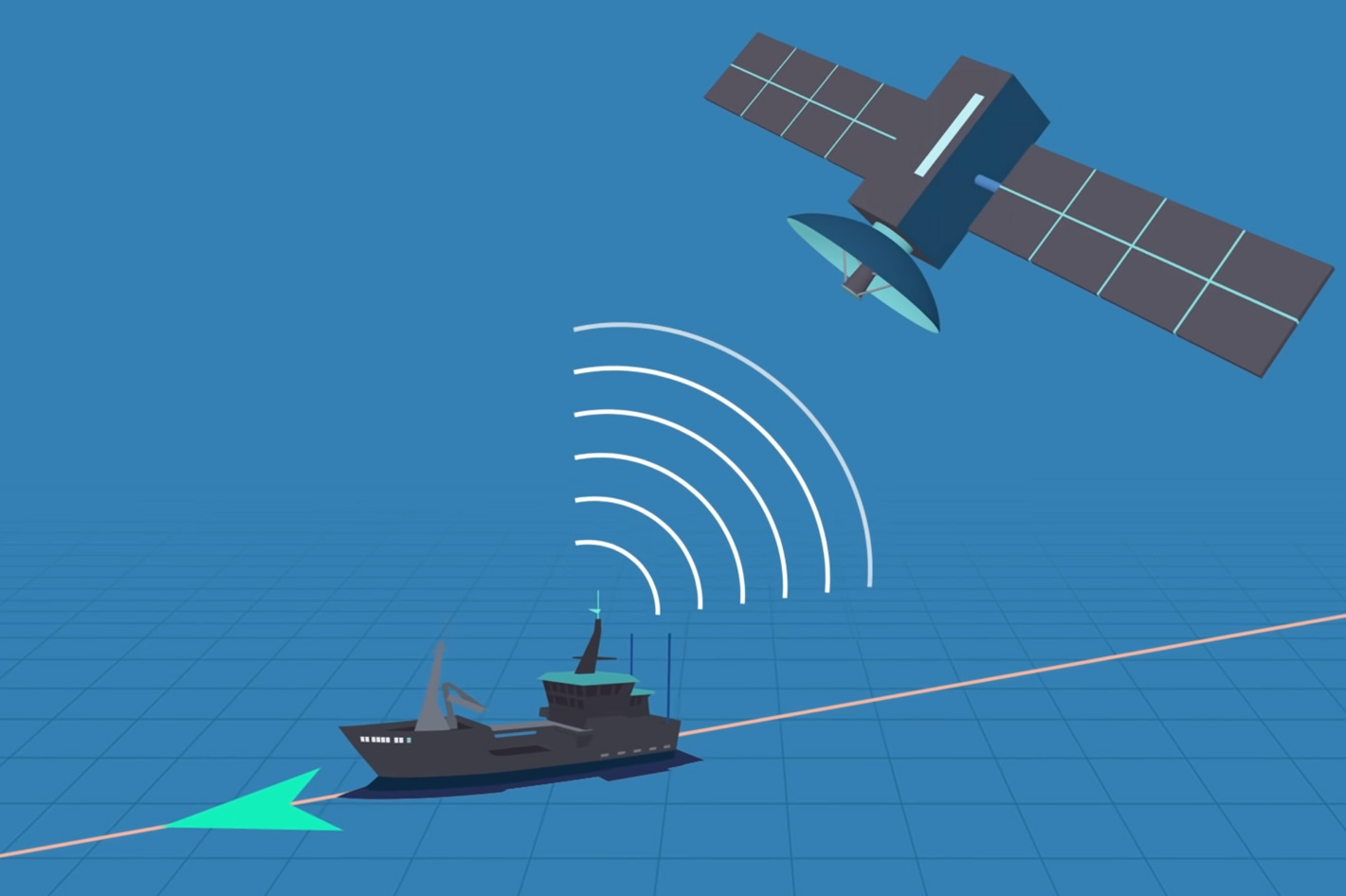
A remarkable discovery regarding industrial fishing vessels was made by earth-observing satellites. Unmapped commercial fishing vessels were mostly found in Africa and South Asia, underlining global consequences. (Photo: AZoAi)
Global Fishing Watch’s Analysis Exposes Unmapped Industrial Fishing Vessels
A remarkable discovery regarding industrial fishing vessels was made by earth-observing satellites. The first global mapping of large vessel traffic and offshore infrastructure was completed by the Global Fishing Watch using satellite imagery from 2017-2021, vessel GPS data, and cutting-edge machine learning tools.
The maps revealed that approximately 75% of the world’s industrial activity at sea was hidden from public view, revealing many uncharted fishing vessels engaging in operations that monitoring systems had missed.
The investigations have shown a large number of “dark vessels,” indicating a previously unquantified human impact at sea. This new perspective goes beyond illegal fishing to understand how humans affect our aquatic environment. Discovering these “dark fleets” is essential to understanding and fighting illegal fishing and its environmental impacts.
READ ALSO: Historic First Launch Of Vulcan Rocket Carrying Private Moon Lander And Human Remains
Unmapped commercial fishing vessels were mostly found in Africa and South Asia, underlining global consequences. Unmapped vessels have legitimate reasons for not appearing in public monitoring systems, but a significant fraction are engaging in illicit, unreported, and uncontrolled fishing, emphasizing the need for better marine surveillance and regulation. This shows the relevance of open, accessible data for marine environment understanding and activism.
This discovery uses satellite technology to uncover industrial fishing vessels’ covert activities, affecting natural resource management, environmental impact assessment, and marine pollution accountability. This important discovery helps researchers and environmentalists understand ocean industrialization and global issues like climate change and greenhouse gas emissions.


![Tyson Foods Plant [Photo: Food Manufacturing]](https://southarkansassun.com/wp-content/uploads/2023/08/iStock_1185520857__1_.5e441daa51cca-600x337.jpg)


![Silverado Senior Living Management Inc. [Photo: Los Angeles Times]](https://southarkansassun.com/wp-content/uploads/2023/10/download-6-4-600x337.jpg)

![China's Wuhan Institute of Virology [Photo: Nature]](https://southarkansassun.com/wp-content/uploads/2023/09/d41586-021-01529-3_19239608-600x337.jpg)


