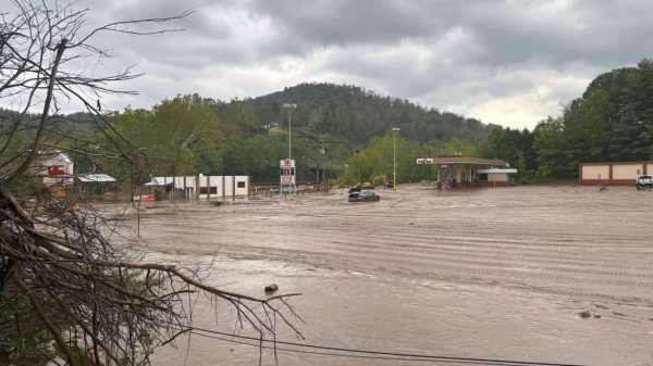
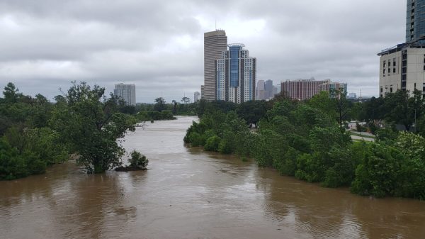
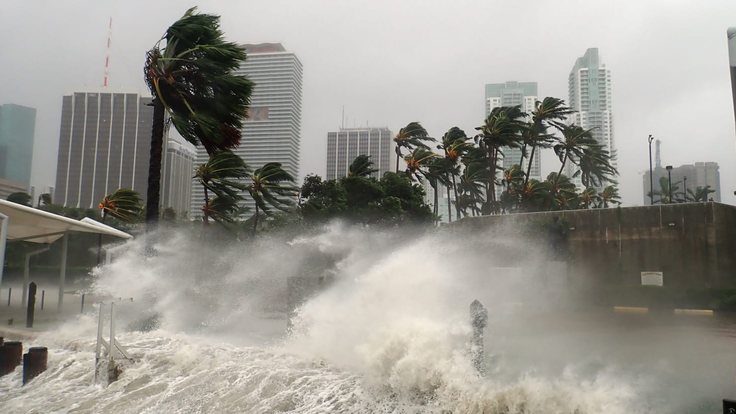
After a blessed lull in this year’s hurricane season, a new storm is gathering force as it sweeps across the Gulf of Mexico toward the Louisiana coastline.
Dubbed Tropical Storm Francine, forecasters anticipate that, fueled by warm waters, the fierce winds will almost certainly exceed the sustained speeds of 74mph required for hurricane status, possibly reaching as high as 100mph, by the time the storm arrives in the U.S. sometime on Wednesday afternoon.
The National Hurricane Center has issued a bulletin advising a “hurricane warning” is now in place “for the Louisiana coast east of Morgan City to Grand Isle,” with a further “tropical storm warning” in effect for parts of the coast “east of Grand Isle to the mouth of the Pearl River, including metropolitan New Orleans, Lake Pontchartrain, and Lake Maurepas.”
The bulletin further advises that the storm is likely to bring rainfall of up to 12 inches throughout much of Louisiana and Mississippi before Friday morning, which could well lead to “considerable flash and urban flooding.”
CBS News reports that as of Tuesday morning, the storm is moving north-northwest at a pace of roughly 5mph from its current location, approximately 415 miles south-southwest of Cameron, Louisiana.
Governor Jeff Landry has already declared a state of emergency in anticipation of the hurricane’s arrival, posting on X that the move “will allow parishes statewide to have the resources to help protect the life, safety, and welfare of the citizens of Louisiana.”
According to the BBC, mandatory evacuations are already being carried out areas likely to be worst affected by the flooding and high winds, with several schools also announcing that they will close until the storm has passed.
Louisiana knows too well the dangers posed by such fierce weather. This year alone, the state suffered a battering from Storm Beryl earlier in July, having battened down through Hurricane Ida, the fifth most powerful storm on record, in 2021, and of course enduring the trauma of Hurricane Katrina in 2005.


![Tyson Foods Plant [Photo: Food Manufacturing]](https://southarkansassun.com/wp-content/uploads/2023/08/iStock_1185520857__1_.5e441daa51cca-600x337.jpg)



![Silverado Senior Living Management Inc. [Photo: Los Angeles Times]](https://southarkansassun.com/wp-content/uploads/2023/10/download-6-4-600x337.jpg)

![China's Wuhan Institute of Virology [Photo: Nature]](https://southarkansassun.com/wp-content/uploads/2023/09/d41586-021-01529-3_19239608-600x337.jpg)


