Country Herald is a community news platform for Kankakee, Iroquois, and Will County. Covering breaking local news, sports, lifestyle and events.
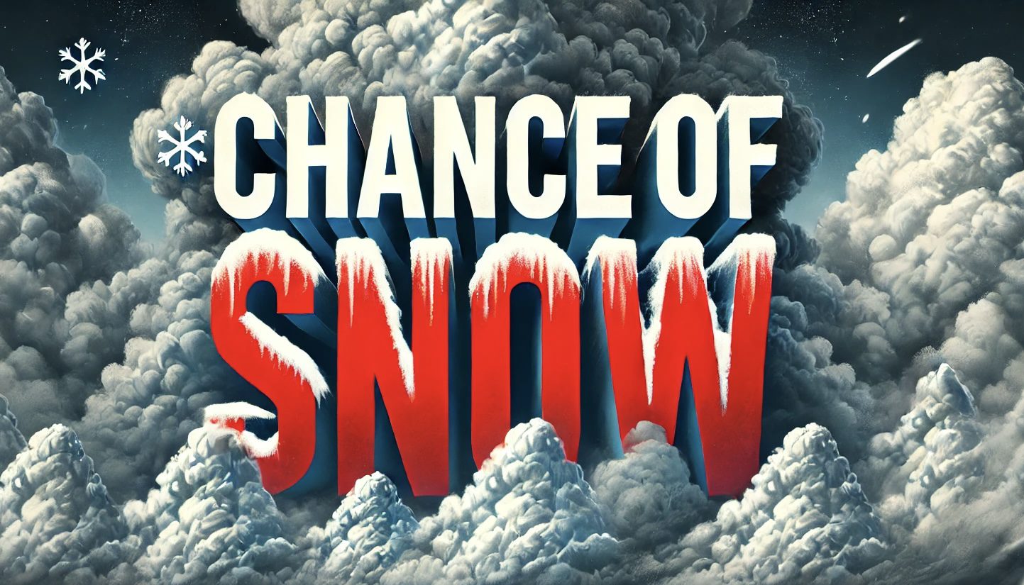
Omaha, NE – Bitter wind chills and light snow are expected Thursday across Omaha and surrounding areas, potentially creating hazardous travel conditions. Temperatures will struggle to reach above freezing, while wind chills in the morning could dip as low as -15°F.
According to the National Weather Service (NWS) in Omaha, a quick dusting of snow is forecast late Thursday afternoon into the evening. Winds gusting up to 20 mph may reduce visibility and make untreated roads slippery, particularly near Interstate 80. Drivers should exercise caution and consider delaying non-essential travel.
Thursday’s high is expected to reach 35°F, with snow chances between 20–30% by the afternoon. Overnight, temperatures will drop to 21°F, accompanied by cloudy skies. Friday will bring some relief with sunny skies and highs near 31°F, though wind gusts could reach 20 mph.
Looking ahead to the weekend, temperatures will remain in the mid-30s, with mostly cloudy conditions Saturday and Sunday. While no significant snowfall is expected, cold mornings and potential for icy patches will persist.
Residents are encouraged to monitor local forecasts for updates and take precautions against the cold. Dress in layers, cover exposed skin, and ensure pets are brought indoors during extreme conditions.
For those traveling Thursday evening, ensure vehicles are equipped with emergency kits, including blankets, flashlights, and extra water, in case of delays caused by icy roads.
Be sure to follow us on Instagram & like us on Facebook to stay up-to-date on more relevant news stories and SUPPORT LOCAL INDEPENDENT NEWS!
The post Nebraska: Bitter Cold and Chance of Snow Thursday Near Omaha – Prepare for Slick Roads appeared first on Country Herald.


![Tyson Foods Plant [Photo: Food Manufacturing]](https://southarkansassun.com/wp-content/uploads/2023/08/iStock_1185520857__1_.5e441daa51cca-600x337.jpg)


![Silverado Senior Living Management Inc. [Photo: Los Angeles Times]](https://southarkansassun.com/wp-content/uploads/2023/10/download-6-4-600x337.jpg)

![China's Wuhan Institute of Virology [Photo: Nature]](https://southarkansassun.com/wp-content/uploads/2023/09/d41586-021-01529-3_19239608-600x337.jpg)


